The U.S. Geological Survey has launched a series of bilingual webpages to provide communities in Puerto Rico improved access to USGS natural hazards science related to the island.
These webpages, which are in English and Spanish, consolidate USGS resources that can help inform commonwealth officials, emergency managers, community planners and others as they make decisions before, during and after hazards events that can help protect lives and property. The content currently includes USGS science related to coastal hazards, hurricanes, earthquakes, landslides, tsunamis, water resources, ecosystems and environmental contaminants.
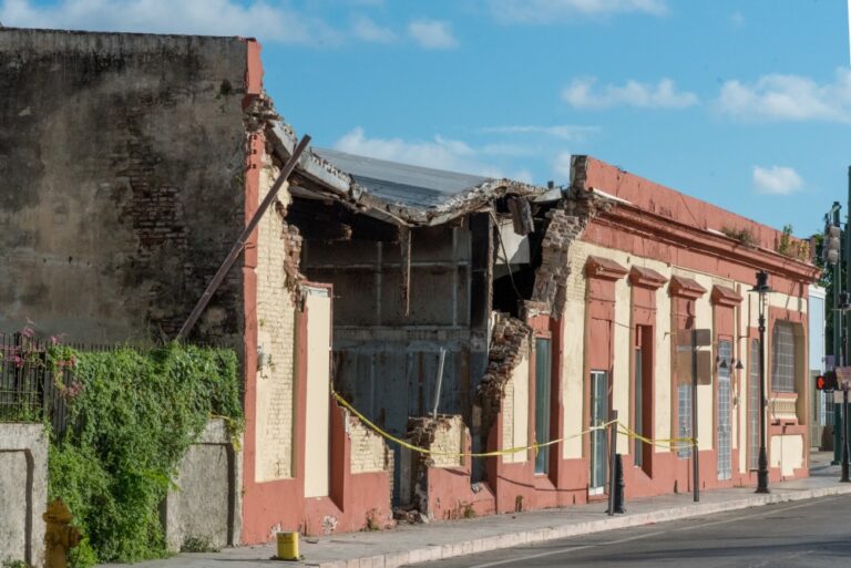
“Puerto Rico is certainly no stranger to the loss of life and destruction natural hazards can bring,” said Jonathan Godt, the acting associate director of the USGS Natural Hazards Mission Area. “Five years ago, Hurricane Maria devastated the island with high winds, heavy rains, major flooding and more than 70,000 landslides. Less than three years later, a magnitude 6.4 earthquake and lengthy aftershock sequence rattled residents of the southwestern part of the island. And about three months ago, Hurricane Fiona brought historic levels of rainfall, which caused flooding and landslides across the island.”
These bilingual webpages are a step toward making USGS hazards-related science more accessible to the residents of Puerto Rico, supporting their needs for information while advancing the diversity, equity, inclusion and accessibility priorities of the Department of the Interior and USGS, Godt added.
While this is not the first time the USGS has translated science into Spanish, this is one of the USGS’s first coordinated efforts to make immersive, bilingual webpages.
“Being from Puerto Rico, I know the importance of having easy access to information in Spanish, which is the primary language for most people on the island,” said Legna Torres-Garcia, a USGS research oceanographer and project lead for these webpages.
As a child, Torres-Garcia saw firsthand how vulnerable her community was to natural disasters and environmental challenges like hurricanes, landslides and drought. She vividly remembers having to ration water during droughts, a problem that persists today. She believes this project could help Puerto Rico become more resilient to future hazards and added she’s “happy to be working to help increase access to USGS science for communities across Puerto Rico.”
During the early phase of the project, the USGS held virtual workshops with stakeholders in Puerto Rico that plan for and work to mitigate various hazards across the island to find out what USGS information would be most beneficial to them. These workshops included commonwealth officials, universities and various academics, community leaders, non-profits, private organizations, and several federal and commonwealth government agencies.
“Holding these workshops created an open dialogue to discuss the USGS resources available, identify priority concerns for the community and determine the best avenue to share USGS data to ensure we were meeting their needs,” said Torres-Garcia. “Going forward, the plan is to improve these webpages over time, and to continue finding new ways to increase Puerto Rico’s access to USGS science.”
The USGS Puerto Rico hazards webpages can be accessed by visiting: https://www.usgs.gov/mission-areas/natural-hazards/science/puerto-rico-natural-hazards-peligros-naturales-de-puerto-rico.
Read more at USGS


